
Harrison Township Neighbors by Block Source
Public sources each answer a limited block question. The map shows parcel geometry and context. The property record connects a parcel to an owner or taxpayer field. The deed index shows a recorded transfer trail. Election data has separate access rules and does not function as an ordinary browse-all-neighbors list. Public community pages can identify an organization or contact point, but they do not establish who belongs to a group or lives nearby.
| Block source | What it can show nearby | Access boundary |
|---|---|---|
| County parcel viewer | Parcel polygons, roads, adjacent parcels, aerial context, and map layers | Public map; owner-popup and export details are not fully verified |
| Township property search | Owner or taxpayer, situs and mailing fields, legal description, value, class, and exemptions | Public name, address, and parcel search; not a current household list |
| Macomb Register of Deeds | Recorded transfer and encumbrance chronology for a particular parcel | Free index; copies and staff searches have separate charges |
| Michigan QVF request | Permitted voter fields within a defined geography | Written request, fee quote, legal-use limits, and protected-field exclusions |
| Building, code, and public meeting records | Property events, releasable enforcement material, public meetings, and named public participants | Permit route or records request; no public code ledger was located |
| Public civic pages | Events and organizational contact roles | Public contact information only, never a private roster |
A parcel map plus an owner field may identify a recorded property connection, not the people who live there now. A parcel can hold more than one structure, a common area, a water feature, or a non-household use. Preserve the parcel ID and legal description before comparing results from another source.
Map Harrison Township Neighbors by Parcel
Use the immediate parcel relationship as the definition of adjacent. In the official viewer, turn on parcel polygons and street labels, locate the target address, and inspect parcels that share its boundary or lie across the street. The guide also documents Parks, Trails, Voting Districts, Flood Zones, Soils, graphic basemaps, recent aerial basemaps, and a Swipe comparison control. These layers explain the block’s setting, but none proves ownership or residence.
The Macomb GIS parcel viewer is pictured below. The map provides the starting parcel and the visual relationship between nearby lots.
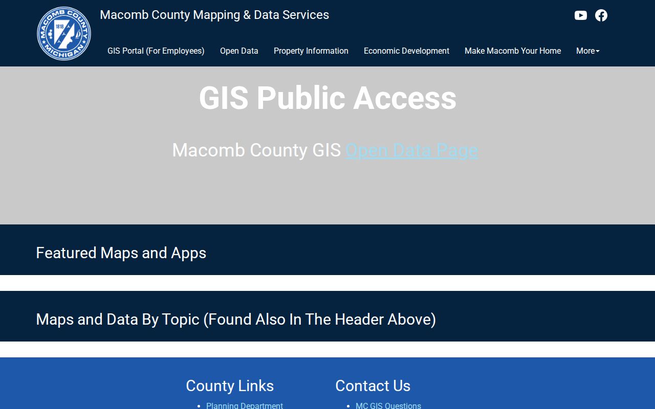
After selecting a parcel, record its identifier, boundary, street label, and any relevant public map layer. If the pop-up does not show an owner, take the parcel number to BS&A. The official guide does not confirm radius, buffer, measure, print, or export functions, so a block comparison should not promise those tools.
- Find the target address in the GIS map and confirm the parcel boundary before opening adjacent lots.
- Click each touching parcel and the parcel across the street when it is relevant. Capture the parcel ID, legal description, and map context.
- Search that parcel number in Harrison Township BS&A. Record the property owner or taxpayer field separately from the situs and mailing fields.
- Use the Register of Deeds only when a transfer history is needed. Search each parcel separately because nearby lots can have different subdivisions and histories.
- For a whole named street rather than an immediate block, use the Harrison Township by-street route after the parcels are identified.
Check Harrison Township Neighbor Property Roles
BS&A accepts owner-name, street-address, parcel-number, and building-record-number searches. Its property and tax records can show the owner or taxpayer, mailing address, situs address, legal description, property class, values, tax season, sale details, improvement links, and exemption indicators when those fields apply. The labels matter. A situs address is the parcel location, while a tax mailing address is correspondence routing. Neither one alone identifies every person connected to a block.
The Harrison Township assessor search below shows the public search choices used to move from a map parcel to a property record.
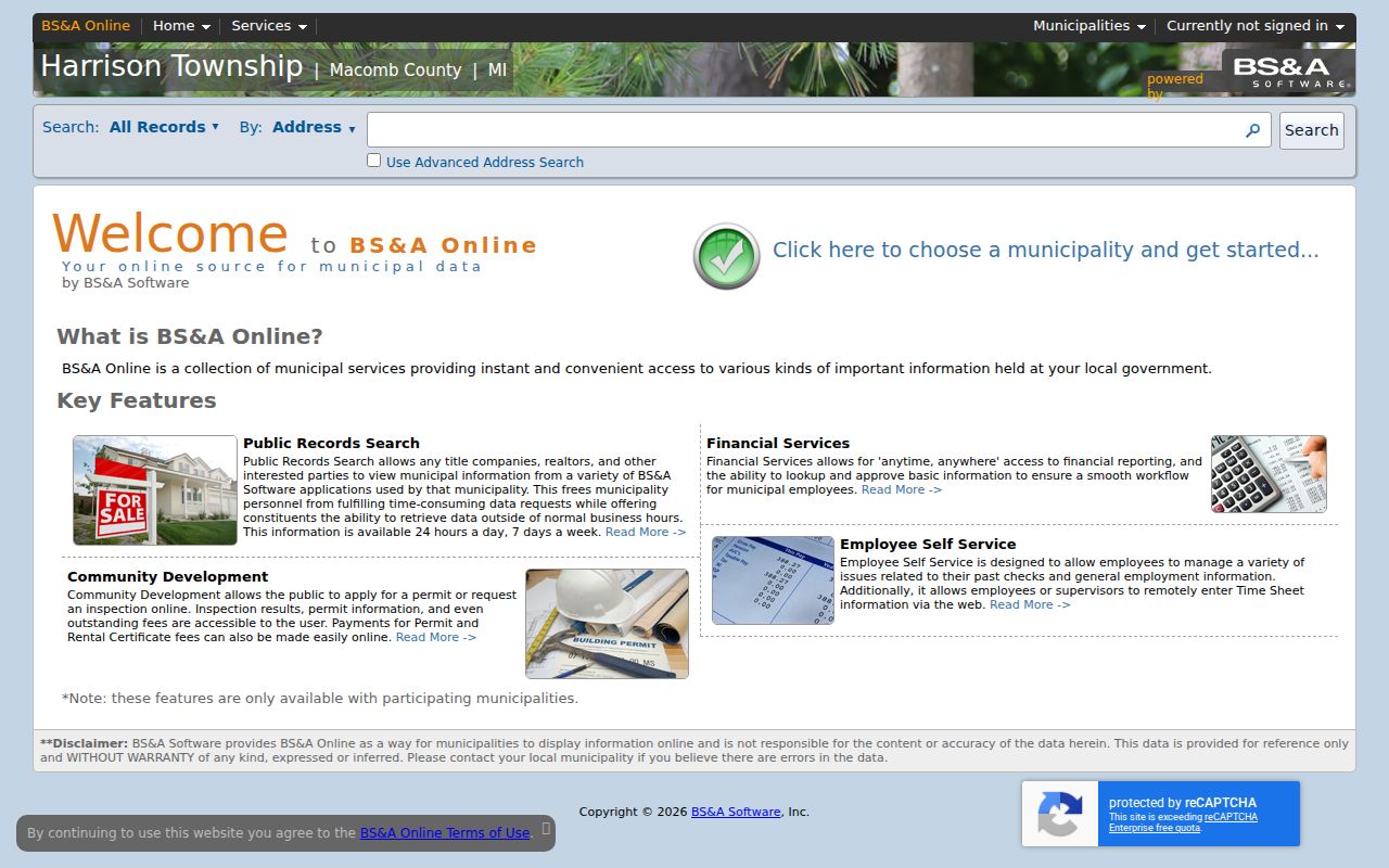
A captured BS&A example for a Harrison Township commercial parcel displays a local situs and an owner mailing address in Miami. That contrast is a useful warning: a mailing field does not prove residence at the parcel. A principal-residence exemption indicator can show a tax status for a parcel and year, but it is not a live list of occupants.
Note: Do not infer a person’s connection to a property from a mailbox, a sign, aerial imagery, or the nearest visible structure.
Harrison Township Neighbors and Voter Boundaries
The statewide voter portal lets a person check their own registration, polling place, sample ballot, early-voting information, and absentee tracking. Its address search asks for a specific address. It does not advertise a public mode for browsing everyone on a block. The visible voter-facing result is designed for election information, not for building a neighborhood list.
A QVF request can define a geography such as a township, ward or precinct, district, school, or county. A Harrison Township request should state Harrison Township, Macomb County, and the desired geography. Public output can include permitted name, address, year-of-birth, registration, status, jurisdiction, and requested participation-history fields, while full birth date, driver-license or state-ID number, phone, signature, Social Security-related fields, and protected participants remain withheld. Participation history does not reveal how anyone voted.
Map layers for voting districts help describe civic geography. They do not reveal voter identities. A QVF result also cannot prove that every adult, household member, or parcel resident appears in a given block because registration, protection status, and mailing information may differ.
Harrison Township Neighbor Civic Contacts
Public community organizations are useful for finding events, volunteer activity, and an official contact point. They are not membership directories. No official township-wide HOA, neighborhood-association, congregation, or block-watch roster was located in the research. Respect that line when looking for Harrison Township neighbors: contact an organization through its own public page and do not treat attendance, a public address, or a business listing as evidence of who belongs there.
The Friends of the Harrison Township Public Library public page is shown below. It provides community-support and event context, not a list of library supporters.

Use these public contacts for the organization’s stated purpose. Ask for publicly posted contact information only; none of the sources below authorizes collection of private member names.
| Public organization | Local or regional connection | Public boundary |
|---|---|---|
| Friends of Harrison Township Public Library | Library support, public events, and used-book sales at 38255 L’Anse Creuse St. | No member roster is published |
| Macomb County Chamber | County and regional community-business network | Public member-directory detail was not verified |
| Anchor Bay Chamber | Regional community and business network | Public member-directory detail was not verified |
| Fraternal Order of Eagles Mt. Clemens Aerie 1269 | Public organization contact at 25455 South River Road, Harrison Township | No membership records are claimed |
Harrison Township Block Permits and Events
Permits and code records add a property-event layer to a block history. The township building department provides permit instructions and an online application route. BS&A also offers a building-department record-number search. Historical public result coverage was not located, and no public code-enforcement ledger was verified. For an older or unreleased file, route the request to the custodian and use the state public-records process when the record is releasable.
The Harrison Township permit and inspections page is shown below. It helps identify the local process behind an address-specific property event.
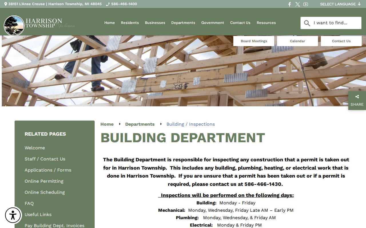
A permit can connect a name to an application or a property event. That person may be an applicant, contractor, owner, or taxpayer, and those roles should not be treated as proof of current residence. The same distinction applies to a code record, meeting agenda, or public comment.
Compare Harrison Township Neighbor Tools
Official records and commercial neighbor-lookup categories have different strengths. Official sources identify the custodian, parcel, record date, and access boundary. Commercial tools can blend old address data, filings, marketing data, and same-name matches. They may repeat a mailing address or merge different people. They cannot lawfully provide private utility, delivery, protected-voter, or full household information.
| Research category | Best for | Limit to remember |
|---|---|---|
| GIS plus BS&A | Parcel adjacency, legal description, and recorded property fields | Shows parcel roles, not a census of current residents |
| Recorded deed index | Transfer and encumbrance chronology for one parcel | An index entry still needs the instrument and legal description checked |
| MVIC or QVF | Personal election information or a defined lawful geography request | No ordinary street-wide household roster; protected fields stay protected |
| Commercial neighbor tools | Broad starting leads that require independent checking | May be stale, merged, incomplete, or based on a mailing field |
For a transfer question, return to the county index and the instrument. For a map question, return to the parcel viewer. For a civic question, use the group’s public contact page. Matching the question to the custodian prevents a block map from being mistaken for a people list.
Private Information Around Harrison Township Blocks
Michigan public-record access has firm boundaries. The Michigan Freedom of Information Act, MCL 15.231 et seq., does not override protections for motor-vehicle data, sealed or excluded court material, confidential vital records, or protected voter information. The Michigan Address Confidentiality Program provides eligible participants with a substitute address and mail forwarding. A parcel, deed, or voter search should never be used to work around that protection.
Utility and delivery information is not a public block directory. A public property or election record may be partial, dated, or connected to someone other than the person who lives at an address. When an official record needs correction, contact its own custodian. A public record is not permission to expose or pursue private information.